Season 4 – Guerlédan Diaries
Day 2
We’re back today with updates about our time at Guerlédan Lake. Here both the second- and third-year students are working on their respective projects while taking advantage of the lake for experiments.
Today we’ll focus on two groups of third year students and their respective projects.
The first group we shadowed are working on a sci-fi like project where the goal is to use a sensor called a LIDAR in cooperation with an inertial unit to locate yourself more accurately when a GPS is unable to access your position – because of obstacles or because you are underground.
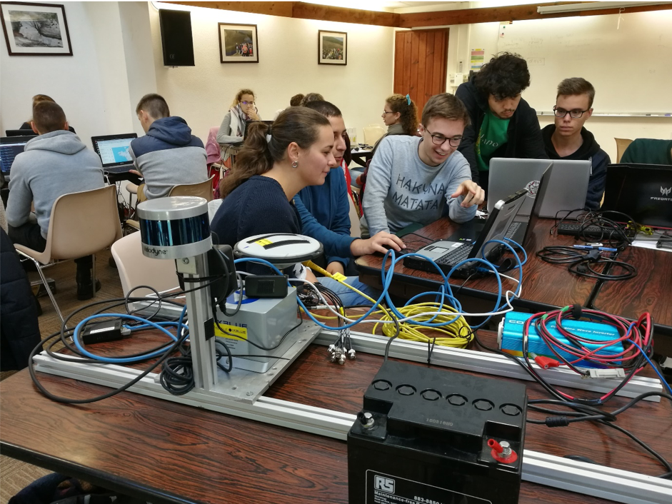
Those students spent their day calibrating the LIDAR sensor (in the foreground of the picture) to make sure that the data it measures is correct. As it is humanely impossible to perfectly align the captor with the ground, this patch test ensures that the raw data won’t be affected by the offset. The LIDAR sensor is now able to compensate the flawed data.
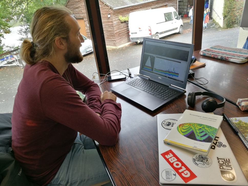
In the meantime, the students working on the analysis of water columns in order to count fish populations were busy comparing and improving IFREMER’s and ENSTA Bretagne’s methods and equipment. The day was well spent diving into the arcane depths of the software as a first step towards their goal.
IFREMER’s software being incompatible with ENSTA Bretagne’s measuring protocol, they first needed to write a program that will enable them to draw charts of both data sets in order to compare them later this week.
Tune in for more news about exciting student projects tomorrow!